Geography
 |
| Kelly Leach |
| Geography Co-ordinator |
kleach@chaddlewoodschool.org.uk |
'A Chaddlewood geographer will have an understanding of themselves in relation to their locality and the world beyond and have the geographical skills, knowledge questioning ability and understanding to describe and explain the world around them and how it evolved.'
How is geography planned at Chaddlewood?
Geography is planned to explore a main question, which is developed from the subject content detailed in the National Curriculum as assigned to each key stage. Lessons focus on key questions to form the answer to the main question. Key questions are formed from the disciplinary concepts that have been identified as integral to understanding geography and are used as longitudinal threads to build understanding across year groups and topics. Our teaching and curriculum design reflects the relationship between substantive themes and disciplinary knowledge.
Learning activities have been developed collaboratively to ensure effective progression of regional and thematic geographical knowledge. In geography, we split knowledge into two categories. We identify 'knowing that' and 'knowing how' or conceptual and procedural. Geographic enquiry is used to drive the curriculum in order to develop children’s enquiry and questioning ability. This provides pupils with the opportunity for enquiry and find things out for themselves without being given answers. Teaching develops pupils’ geographical knowledge alongside geographical skills and fieldwork.
The planning format is designed in phases with immersion, review and assessment and knowledge-rich sections intrinsic to the plans. Planning provides the opportunity to embed previous learning and develop links between lessons and disciplinary concepts. Connections are also made with previously taught geography sequences as part of the ‘overlap of learning’ and to consolidate and deepen understanding so children can apply what they already know to help them.
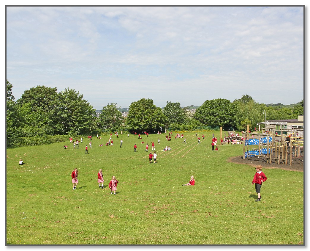
A whole school approach to scale means that geography is taught through a widening lens: from the immediate location of our school ground, to a local, regional, national and global perspective.
Disciplinary Concepts |
||||
Why are these our disciplinary concepts?
The aims of the National Curriculum, reading from a range of curriculum thinkers, as well as the planning and sequencing of lessons have formed the basis of the Chaddlewood disciplinary concepts.
Place
Place encompasses real as well as perceived and imagined places and ideas and refers to: what is in places and what happens there, ways places change and develop, their character and what they are like, how we conceive of and respond to places, whether we prefer them to stay the same or evolve. Place is multifaceted, involving cognitive and affective understandings of place.
Space
Space refers to where features and places are located, their distribution, the patterns they form and the networks connecting them. Space describes the formal layout of the natural and human environment and their fluidity and change. It enables us to recognise and explain the processes affecting them.
Scale
Scale provides the lens to look at the world, from very small sites to local, regional, national, continental and oceanic areas, to the whole world. Scale enables many relationships to be identified and particular, wide-ranging patterns and connections to be recognised. Scale supports understanding environmental and place processes and making predictions.
Environment, impact and sustainability
Environment, impact and sustainability concerns the interactions between the natural and human environments and their effects on each other, particularly of change and its consequences. It examines the quality, management and care of environments, places and lives. It considers the responsible and exploitative use of the Earth’s resources alongside responses to the degrading of natural and modified environments and damage to people’s lives. It considers ways to improve people’s futures and Earth, and the ethics of doing so.
Interconnection
Interconnection refers to the nature and significance of links between features, places, events and people. It enables recognition and appreciation of interdependence, locally, regionally or globally, whether ecological or socially generated. It examines the importance and impact of maintaining, modifying or breaking interconnections.
How do we ensure that the curriculum will reinforce the disciplinary concepts so that pupils remember more in the long term?
Disciplinary concepts are developed from the substantive knowledge needed to understand geography as a discipline. We use disciplinary concepts in geography to ensure that the knowledge from the National Curriculum has a conceptual spine to hang off. These ‘big ideas’ give the curriculum knowledge a disciplinary context and allow children to make knowledge and conceptual connections.
Knowledge is taught to be remembered, not merely encountered; therefore, we begin each unit by exploring a main question. We then use key questions, which will be explored in lessons, to develop the answer to the main question. The key questions are developed from the disciplinary concepts. This approach breaks the problem down into parts. This reduces the problem space and lightens the cognitive load, making learning more effective.
Substantive Themes |
|||
Landforms |
Climate |
Processes |
Sustainability |
Why are these our substantive themes?
We have identified the major substantive themes that feature throughout the study of geography in a range of contexts at Chaddlewood Primary School. Our curriculum ensures that pupils regularly encounter a wide range of important substantive themes as they are extremely important to pupils’ understanding of new material. These themes are embedded in each year of school geography. This enables pupils to draw on their secure knowledge of these concepts repeatedly in a number of different contexts and make links across the geography curriculum.
How do we check that pupils have understood before we move on?
We begin every geography unit with a KWL grid to ascertain children’s prior knowledge (against the key questions) and gaps in previous learning. This is used as a mechanism to shape the planning for the module and ensures that time is not wasted looking at learning that children already have. Lessons are always adapted accordingly.
We use retrieval practice or 'challenge grids' to support this and ensure the essential ‘substantive themes’ of each subject are taught and embedded and to gauge the children's learning and understanding against the key questions. Planning is then adapted accordingly based on children’s outcomes.
Assessments are made formatively and summatively using the KWL and retrieval grids. In year 5 and 6, children move on to complete a more open-ended retrieval activity which gives them scope to share a wide breadth of understanding in relation to the key questions taught.
We use an impact document to measure the effectiveness of our learning. Content or lessons which were not effective are then changed for the following year. Information is fed back to previous teachers if it was felt that the knowledge from that year was also not secure enough.


